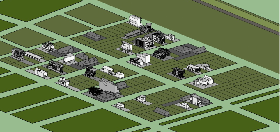
In the Fall of 2012, Practicum Students were tasked with evaluating the Lower Ninth Ward as a whole with the objective of locating an appropriate site for their project. As part of their analysis, students reviewed GIS data, time-lapse aerial photography, and Google Streets images to determine a specific area in the Lower Ninth Ward that was most in need. The selected site was required to contain enough vacant or abandoned properties to accommodate all residential proposals from the Advanced Architecture studio as well as viable commercial or public sites to be designed by the Practicum studio. The students collectively evaluated the data and then made the videos below to illustrate the site selection process for the Advanced Architecture studio.
|
|
|
|
The work of these students lives on as we continue development of this site in the Fall 2015 semester. Practicum students were instructed to utilize the same area of the Lower Ninth Ward for their projects, but they were given the opportunity to re-consider the overall project masterplan. The location of a site for phase I recovery efforts and phase II community buildings was determined by the studio as well as revised layouts for some residential sites. The masterplan was determined from the results of a mapping exercise used to reveal the underlying patterns and characteristics of the project area.
As was done in the previous semester, the Practicum Studio numbered the lots and conducted a lot assignment draw for the students in the first and second year studios. Houses that were built on lots in the 2012 studio were included as part of the project in order to achieve greater density in the overall development. Once lot assignments were completed, Practicum students built a Sketchup model of the site for all students to include a model of their house on their site within the neighborhood. The resulting model provided a complete picture of the new community at the end of the project.

